Those sailing from San Diego to Oxnard should return to the ports on Sunday afternoon and not rely on the good weather on Saturday
A new cold front will bring dangerous swells.
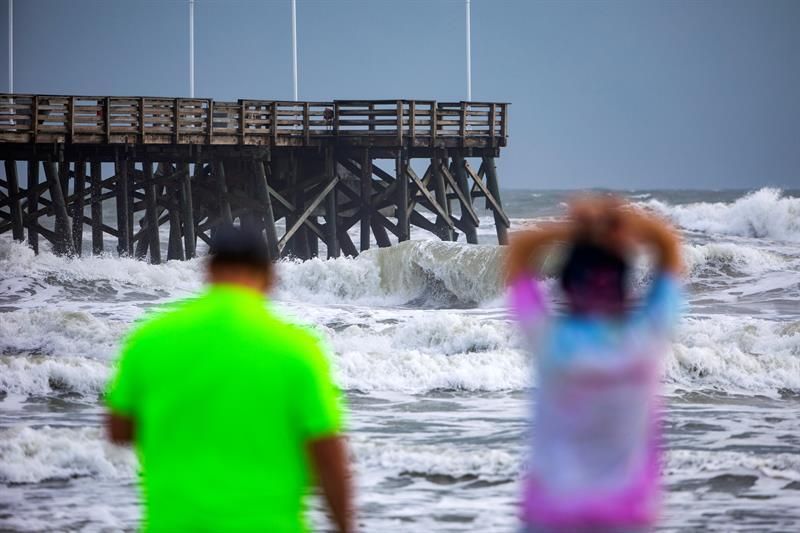
Photo:
JIM LO SCALZO / Efe
A large, fast-moving cold front will plunge into the coast of southern California on Sunday, producing waves of more than 20 feet and winds of 50 mph or more in a “rare and dangerous” event in the outer waters, according to the National Meteorological Service (NWS).
Meteorologists at the Rancho Bernardo and Los Angeles-Oxnard offices of the meteorological service said that navigators should not venture beyond local ports between Sunday afternoon and Monday night to avoid the scourge of hurricane winds, reports The San Diego Tribune.
The weather also brings threats on land, the forecast is from the northwestern wind to the north very strong and harmful to southern California, with gusts of 50 to 70 mph in most areas, and isolated from 80 to 90 mph.
These strong winds can cause downed trees, large tree branches and power lines, probable power outages and strong cross winds.
The worst conditions will generally occur between 30 and 60 miles offshore.
The forecasters pointed out that it is usual for sailors to travel so far to the sea to visit the islands of San Clemente and Santa Catalina. And it is possible that waves up to 20 feet may appear within 20 miles of the coast of San Diego County.
A gale force warning will be in effect for outside waters starting at 2 p.m. from Sunday at 2 p.m. of Monday.
Strong winds, rough waves and vicious surf currents are expected on the immediate coast.
Meteorologists will update the forecast throughout the weekend with the help of the Scripps Oceanography Institution of UC San Diego, which operates the widely used Coastal Data Information Program.
"Sailors should make sure they have time to return to the port on Sunday afternoon because there will be winds of brute force on the high seas" said Alex Tardy, who forecasts extreme weather for the weather service office in Rancho Bernardo.
Tardy said the weather service is emphasizing the danger because navigators might think that everything is fine based on the unusually warm weather that Greater San Diego will experience on Saturday.
The maximum during the day is expected to reach or exceed 70 degrees on the coast and rise much further east.
"Most of the areas east of Interstate 5 will enter the 80s," Tardy said. “There will be a great change of course; Monday's day highs will be 15 to 25 degrees cooler than Saturday's. ”


